
Local News
Early snowfall in Montana gives NOAA hope as the drought subsides
By 
Staff
Great Falls, Montana – A wet winter is predicted for Montana by the triple dip La Nina weather pattern.
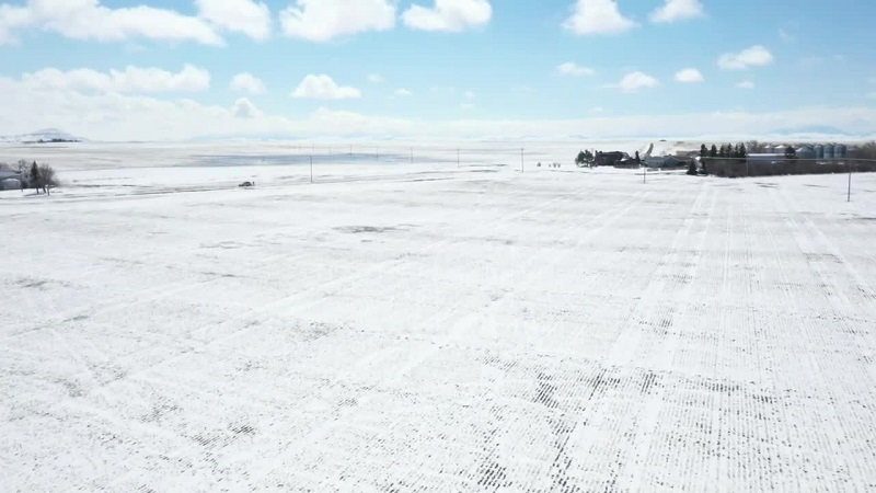
Early in the winter season, the state saw extraordinary snowfall, particularly in its driest areas, which increased the snowpack in the nearby mountains.
For farmers looking ahead to the spring, it’s a ray of hope.
“We’re off to a great start. And if we can keep this going, we’re really going to benefit the entire state in the drought out in the drought situation.” Said Arin Peters, a Senior Service Hydrologist for the National Oceanic & Atmospheric Administration (NOAA).
According to the most current NOAA weekly drought outlook chart, if these trends persist, Montana may be in good shape by spring.
“That’s how the drought monitor works. It is supposed to be the best indicator of what things are looking at that moment.” Peters said.
However, a large portion of the moisture that the state has received has soaked into the soil, which is advantageous. However, according to Jason Laird of the Montana Wheat and Barley Committee, we are still in the weeds.
“Anything that is to melt right now is not going to absorb into the ground very much. So, we’re not going to actually reap the full benefits of all the snow we have on the ground right now. “
The counties in the center and south of the state now have the least amount of snow cover. Fergus, Petroleum, Garfield, Wheatland, and Rosebud counties rank among the lowest at 0″-2″.
A snow cover is essential to a bountiful harvest for farmers who have winter wheat in the ground, despite the fact that experts believe it will aid.
“Wheat producers throughout the state, especially those that have winter wheat in the ground, you know, this snow cover is very, very beneficial, although we may not be seeing a lot of moisture out of that snow.
The benefits of it are protected. You know, believe it or not, snow does give a layer of insulation, so it helps protect that crop,” said Laird.
The NOAA provided the map below, which states that the areas with the lowest snowfall to date—between 0″ and 2″—are colored white to gray. Greater snowfall is indicated by anything whiter than greyish-white.
While Montana’s usually driest months are January and February, farmers will still need to pray for rain before April.
“If we end the season well above average for snowpack, awesome,” said Peters, “But it’s still probably going to take spring precipitation to be above normal to really pull us out of this long-term drought.”
Farmers may experience issues if springtime moisture levels are higher. “Any time you get significant moisture going into spring planting, it gets a little bit challenging to get those tractors out in the field. So, it’s a bit of a gamble as to how much moisture we get and getting that seed in the ground,” Laird said.
Any climatologist is hopeful for a good year, and the farming industry is as well. Whatever the harvest of the year yielded, all they can do is look forward to it. Farmers currently have little choice but to pray that the arid weather and snow will last.
Residents and farmers can use the Montana Drought Impact Reporter, a tool provided by NOAA.
It is a tool that requests local residents to report the state of their farming, neighborhood, and region through photos and other information. When drought forecasts are made public, it provides forecasters with an accurate reading.
Leave a Reply
You must be logged in to post a comment.